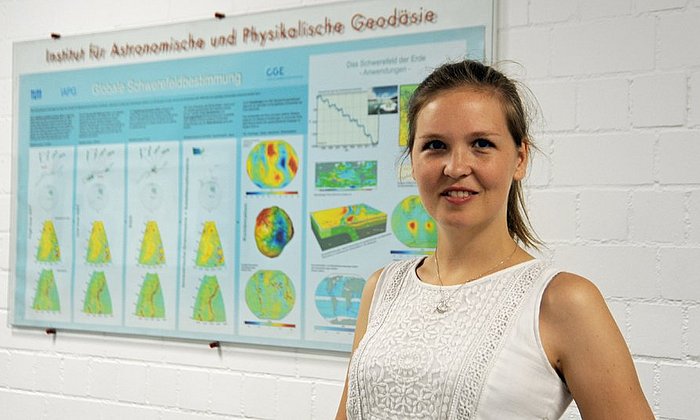
NewIn: Katharina Anders
“Driving forward 4D Earth observation fundamentally”
"I want to achieve a fundamental advancement in 4D Earth observation," says Katharina Anders. Her research aims to process and combine the high-precision images of the Earth's surface obtained by reconnaissance satellites, observation aircraft, drones, and laser scanners. This data can contribute not only to scientific knowledge but also make an important contribution to climate protection and natural hazard prevention.
The fourth dimension: time
“In order to meet the enormous challenge of climate change, we need to better understand environmental processes,” says Katharina Anders. Her research focuses on geomorphology, which involves studying the processes responsible for shaping landscapes. By utilizing 4D observation, which combines three-dimensional data with a time axis, even the smallest changes in the landscape can be visualized. These 4D data clouds enable the detailed observation of processes such as river formation, movement of unstable slopes, and erosion of sandy beaches.
Detecting natural hazards at an early stage
The use of high-precision sensors, automated measurements, and advanced data analysis enables the measurement of even the smallest surface changes, such as sand movement caused by wind on beaches or large dunes. The research findings are valuable for detecting and monitoring natural hazards like landslides or floods at an early stage. This allows the development of strategies to adapt to climate change and reduce its impact.
A significant contribution to climate protection
“In my research, I work together with the aerospace industry, for example on airborne images. At the same time, I include geosciences and environmental research in my projects, as well as computer science and data science for data analysis,” says Katharina Anders.
This interdisciplinary approach significantly contributes to climate protection. Analyzing remote sensing data provides a deeper understanding of processes on the Earth's surface, especially regarding natural hazards, the impacts of climate change, and the complex interactions between humans and the environment. Her research demonstrates how modern technology and science can collaborate to better protect our environment and address the challenges of climate change.
- Katharina Anders studied Geography with Computer Science and Environmental Physics at Heidelberg University. She obtained her PhD in Geoinformatics (with distinction) at the Institute of Geography and the Interdisciplinary Centre for Scientific Computing at Heidelberg University, with a research visit at TU Delft. In 2023, Prof. Anders was appointed to the professorship for Remote Sensing Applications at TUM.
- The Professorship of Remote Sensing Applications is funded by Hightech Agenda Bayern (HTA).
- All episodes of the video series "NewIn".
Technical University of Munich
Corporate Communications Center
- Moritz Müller
- mo.mueller@tum.de
- presse@tum.de
- Teamwebsite
Contacts to this article:
Prof. Dr. Katharina Anders
Technical University of Munich
Professorship of Remote Sensing Applications
k.anders@tum.de


